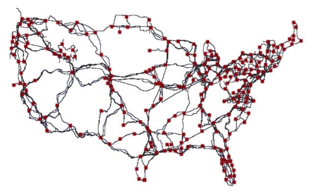
There’s a good reason why you don’t know how your data gets from one place to another on the internet. The major network cables that truss the United States haven’t ever been fully viewable to the public–until now.
The Department of Homeland Security is making the map and data behind it available through a project called Predict, which offers data relevant to Internet security to government, private, and public researchers.
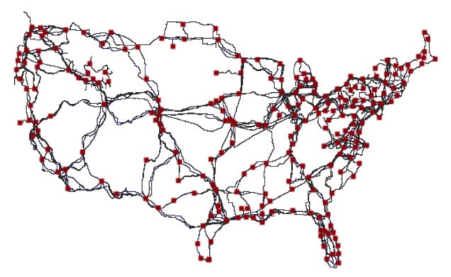
The map is a composite of openly available maps of 20 US fiber providers and is comprised of 273 nodes and 542 conduits. Importantly, the details of the connectivity and shared use of conduits has been verified using public records on rights-of-way.
Via: Gizmodo


